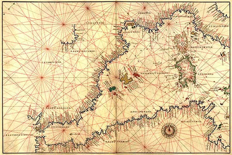
Portolan or Navigational Map of the Western Mediterranean from Gibraltar to Piedmont & Sardinia
Portolan or Navigational Map of the Western Mediterranean from Gibraltar to Piedmont & Sardinia. Done in 1544 by the Italian cartographer Battista Agnese.