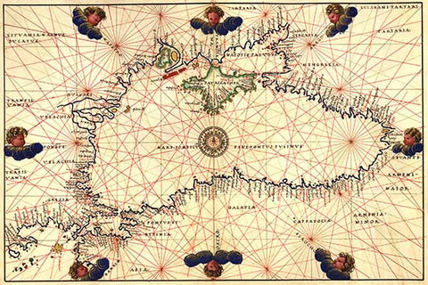
Portolan or Navigational Map of the Black Sea showing anthropomorphic winds
Portolan or Navigational Map of the Black Sea showing anthropomorphic winds. Done in 1544 by the Italian cartographer Battista Agnese.
Portolan or Navigational Map of the Black Sea showing anthropomorphic winds. Done in 1544 by the Italian cartographer Battista Agnese.