Portolan or Navigational Map of the Spain, Gibraltar & North Africa
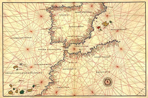
Portolan or Navigational Map of the Spain, Gibraltar & North Africa. Done in 1544 by the Italian cartographer Battista Agnese.
Portolan or Navigational Map of the Spain, Gibraltar & North Africa. Done in 1544 by the Italian cartographer Battista Agnese.