Portolan or Navigational Map of Greece, the Mediterranean and the Levant
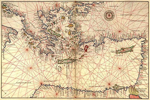
Portolan or Navigational Map of Greece, the Mediterranean and the Levant. Done in 1544 by the Italian cartographer Battista Agnese.
Portolan or Navigational Map of Greece, the Mediterranean and the Levant. Done in 1544 by the Italian cartographer Battista Agnese.